Advisory
This system guides users in applying peer-reviewed methods and cloud computing power to produce a wide variety of high-quality land cover information products that can be updated regularly and consistently.
Share
SERVIR SEA Advisory services are designed to ensure that regional organizations, governments, and NGOs can effectively solve challenges related to climate change, food security, land use, weather and natural disasters, water resource management, and beyond using satellite data and geospatial information.
SERVIR SEA works with decision makers to identify problem statements and collaboratively designs and develops the most suitable geospatial solutions to solve complex problems. This enables stakeholders to use the latest publicly available satellite data and Artificial Intelligence platforms to implement their organizational mandates in a cost-effective manner.
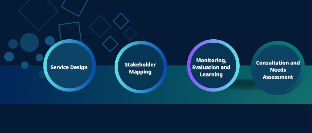
SERVIR SEA’s Service Planning Toolkit is developed around design thinking principles including:
-
Consultation and Needs Assessment
-
Service Design
-
Stakeholder Mapping
-
Monitoring, Evaluation and Learning
Get in touch with us to understand how your organization can leverage satellite data and geospatial information to deliver its mandate.