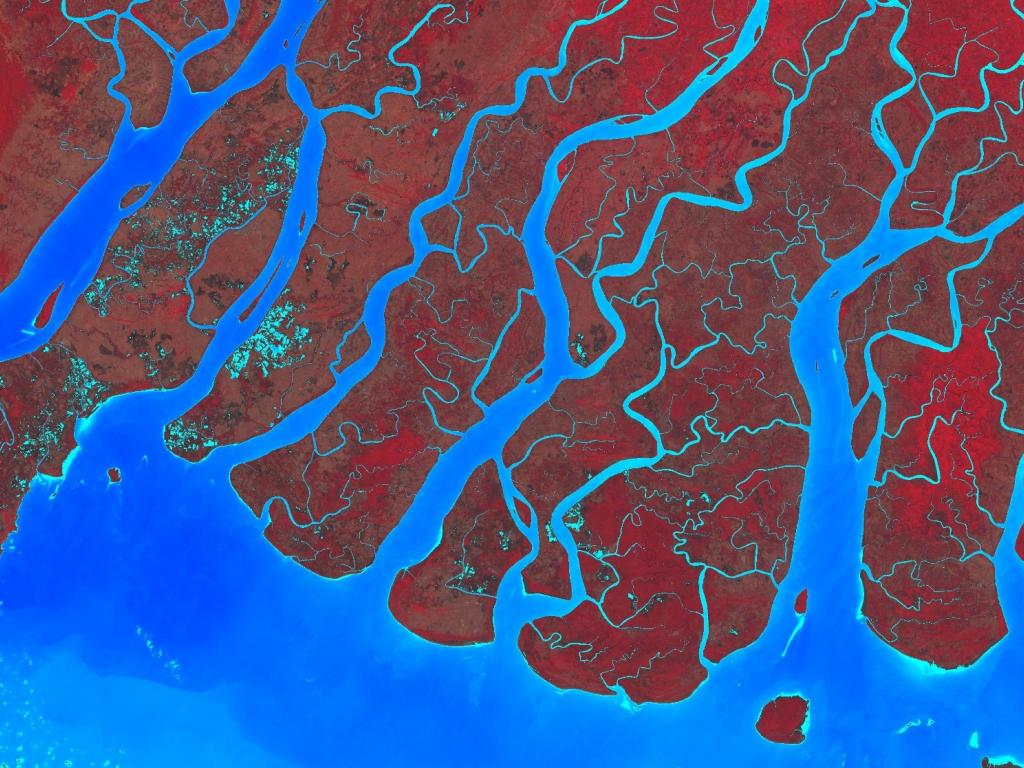
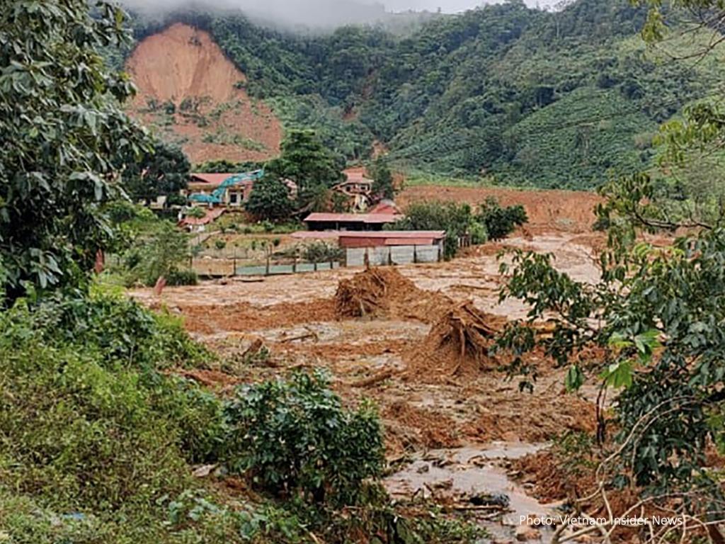
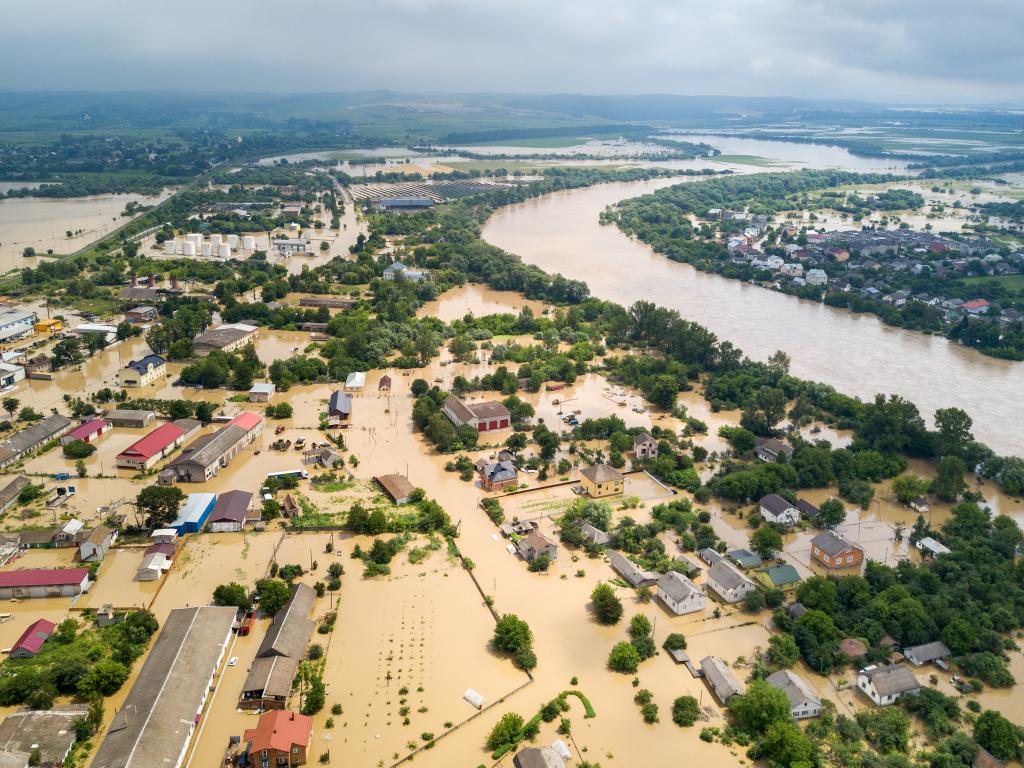
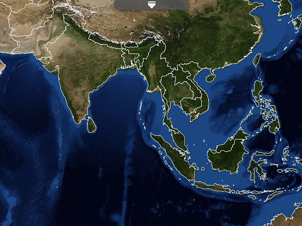
Decision Support Tools
These high quality user-tailored decision support tools and applications have been developed to address on-the-ground issues, empowering decision-makers to act locally on climate-sensitive challenges such as disasters, agriculture, water management ecosystem protection and land use.
Decision Support Tools
Topic