
Biophysical M&E Dashboard
Biophysical M&E Dashboard supports USAID, Cambodia in monitoring and managing large scale sustainable landscape management projects by using satellite data to determine landscape conditions before and after project intervention.
Share
Launch Biophysical M&E Dashboard
Application Purpose
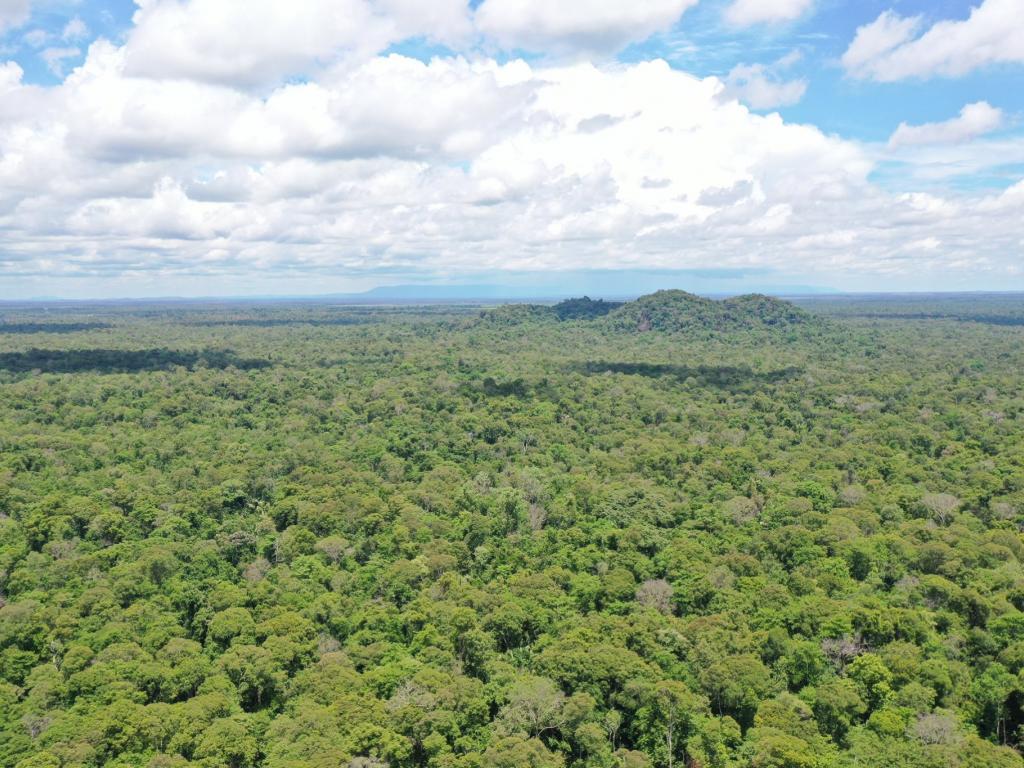
Biophysical M&E Dashboard monitors, evaluates and reports landscape improvements in Cambodia. Developed to addresses the demand from USAID, Cambodia to monitor and evaluate projects that target biophysical improvement and enhance biodiversity conservation on-the-ground. It offers a wide range of biophysical parameters such as number of hectares of forest cover change in significant areas showing improved biophysical conditions as result of project assistance, and information of forest alerts, forest fire hotspot and land cover change by year information for users to choose from in order to review the changes by over a selected area, for a certain time period. Information from this service could benefit for NGO and conservation projects in Cambodia to monitor the improvement of biophysical condition and achievement of sustainable landscape management. This service can be replicated for other USAID Missions as well as other development partners.
Application Uses
Monitoring and managing large scale sustainable landscape management projects by using satellite data to determine landscape conditions before and after project intervention. The dashboard can also be used to monitor forest cover change and provide a robust platform to evaluate the performance of REDD+ in Cambodia. It can be replicated for other USAID Missions as well as other development partners.
Launch Biophysical M&E Dashboard
Consortium Subawardees
Co-Developer(s)
ADPC/SERVIR-Mekong
Satellite Data and Geospatial Information
- MODIS
- VIIRS