
Historical Flood Analysis Tool
Historical Flood Analysis Tool Currently, there is lack of systematic flood risk analysis through collection of local knowledge in order to inform emergency planning, which although critical, takes significant resources and can introduce bias and human error to drive planning. Flood risk assessment requires several complex layers of information, including likelihood of the physical event, exposure of the population to the flood hazard, and vulnerability of populations. Some of this information can be ascertained through mapping the frequency of a flood and population location data. Historical patterns of surface water across spatial extents can potentially inform users about flood frequency and associated risk. This has been a challenging task, especially in the context of high spatial and temporal extent. This tool overcomes these barriers with the availability of Earth observation data of over 30 years, using the Joint Research Centre (JRC) Global Surface Water dataset. It facilitates the analysis of the locations and temporal distribution of surface water from 1984 to 2018 and provides statistics on the extent and change of those water surfaces.
Share
Launch Historical Flood Analysis Tool
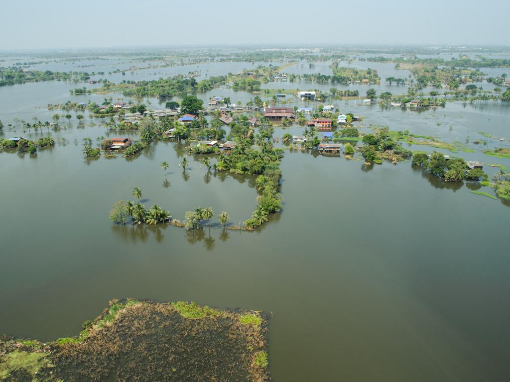
The Historical Flood Analysis tool facilitates the analysis of the locations and temporal distribution of surface water from 1984 to 2018 and provides statistics on the extent and change of those water surfaces. Globally, this data is generated using more than three million scenes from Landsat 5, 7 and 8 observations acquired between 16 March 1984 and 31 December 2018. Surface water frequency is calculated from the monthly data product. Interpreting “water recurrence” as seen by satellite allows for the distinction between episodic (less frequent but more extreme) and regular (or predictable) water. Results can be downloaded in GeoTIFF format.
Application Purpose
The Historical Flood Analysis Tool is designed to provide the information regarding flood prone areas (e.g. frequency of seasonal flooding cycles) in the Lower Mekong Region. In regards to flood disaster risk management, flood frequency is important for disaster preparedness, especially in the context of advanced relief resource provision. For preparedness related to response to severe droughts, this tool is potentially useful for identifying areas of permanent water in the greater Mekong region.
Application Uses
With this tool, variable risk for floods and potentially for droughts can be found with identification of areas particularly prone to such disasters. This information can help with preparedness for prevention and response to flood disasters. With the possibility of addition of census, infrastructure and socio-economic layers, information provided to users can be further enhanced. Presently, the Department of Disaster Management (DDM) in Myanmar is planning to use a modified version suited to their particular needs and requirements.
Launch Historical Flood Analysis Tool
Consortium Subawardees
Satellite Data and Geospatial Information
- Landsat 5, 7 and 8 data
- Google Earth Engine
- OpenStreetMap
- SRTM Plus (30 m Digital Elevation Model)
- Joint Research Centre (JRC) Global Surface Water dataset