
Landslide Hazard Assessment for Situational Awareness for Lower Mekong Region (LHASA-Mekong)
The LHASA-Mekong incorporates Earth Observation (EO)-based products and artificial intelligence (AI) models in a flexible decision support system to quantify landslide hazard and exposure over the Lower Mekong Region
Share
Launch Landslide Hazard Assessment for Situational Awareness for Lower Mekong Region (LHASA-Mekong)
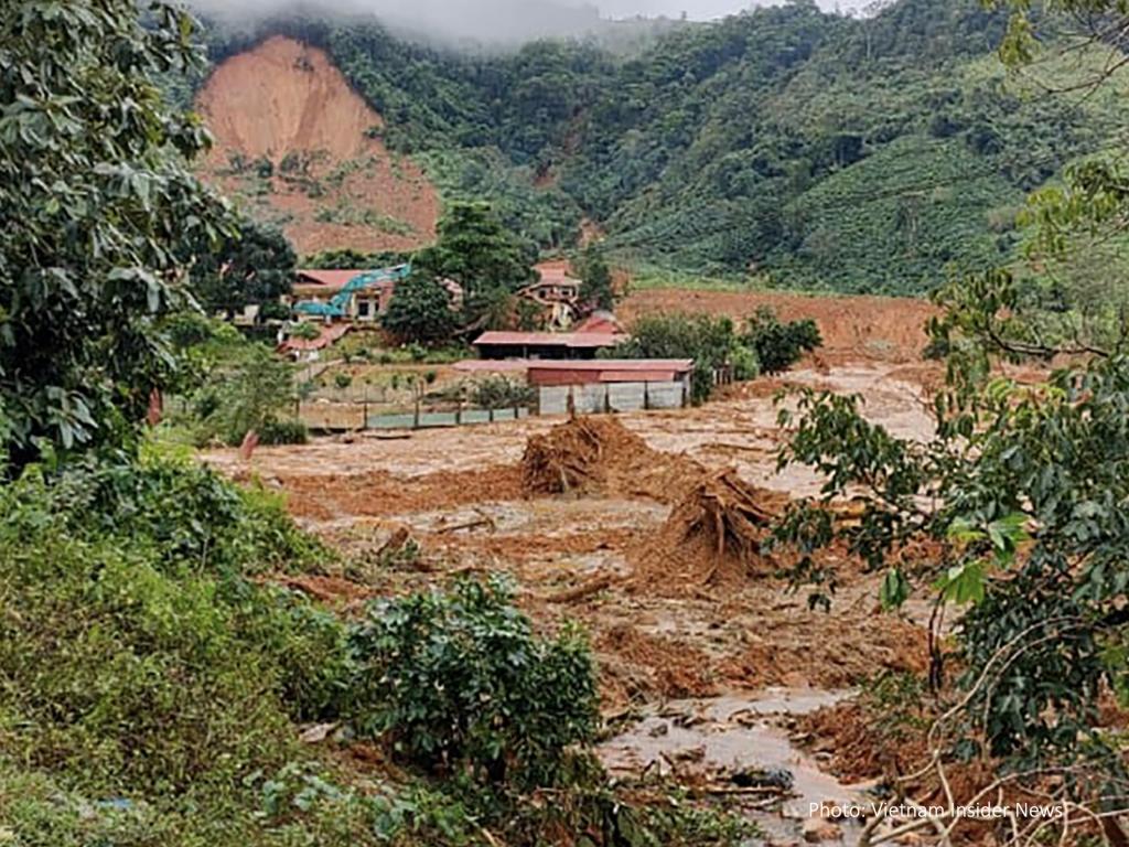
The LHASA-Mekong maps areas of potential landslide hazard in real-time to mitigate disaster risk in the Lower Mekong Region (LMR). The application incorporates landslide inventories within a machine-learning framework to estimate the relative probability of occurrence. The decision support tool relies on the following variables: slope, relief, distance to rivers, the distance to roads, lithological strength, precipitation, and soil moisture. Precipitation is estimated using the Integrated Multi-Satellite Retrievals for Global Precipitation Measurement (GPM-IMERG), while precipitation forecasts are derived from from CHIRPS-GEFS, which merges observations from the Climate Hazards Group Infrared Precipitation with Stations (CHIRPS) data set with the Global Ensemble Forecast System (GEFS). It also estimates the potential exposure of local communities to landslide hazard. The model has been validated with reference to new inventories of rainfall-triggered landslide events. LHASA-Mekong is open-source and is produces landslide probability at a 1 kilometer resolution
Application Purpose
LHASA-Mekong estimates the probability of landslide occurrence at a 1 kilometer resolution along with the potential exposure of local communities to landslide hazard
Application Uses
Landslide monitoring and forecasting, Landslide risk management
Launch Landslide Hazard Assessment for Situational Awareness for Lower Mekong Region (LHASA-Mekong)
Consortium Subawardees
Co-Developer(s)
ADPC/SERVIR-Mekong
Satellite Data and Geospatial Information
- Global Precipitation Measurement (GPM) Integrated Multi-satellitE Retrievals (IMERG)
- Climate Forecast System (CFS)
- HydroRIVERS (USGS HydroSHEDS)
- GRIP global roads database
- Bias-corrected and downscaled version of NCEP Global Ensemble Forecast SystemCHIRPS-GEFS
- Shuttle Radar Topography Mission (SRTM)
- GLiM - Global Lithological Map
- GEM Global Active Faults Database