
Mekong Air Quality Explorer
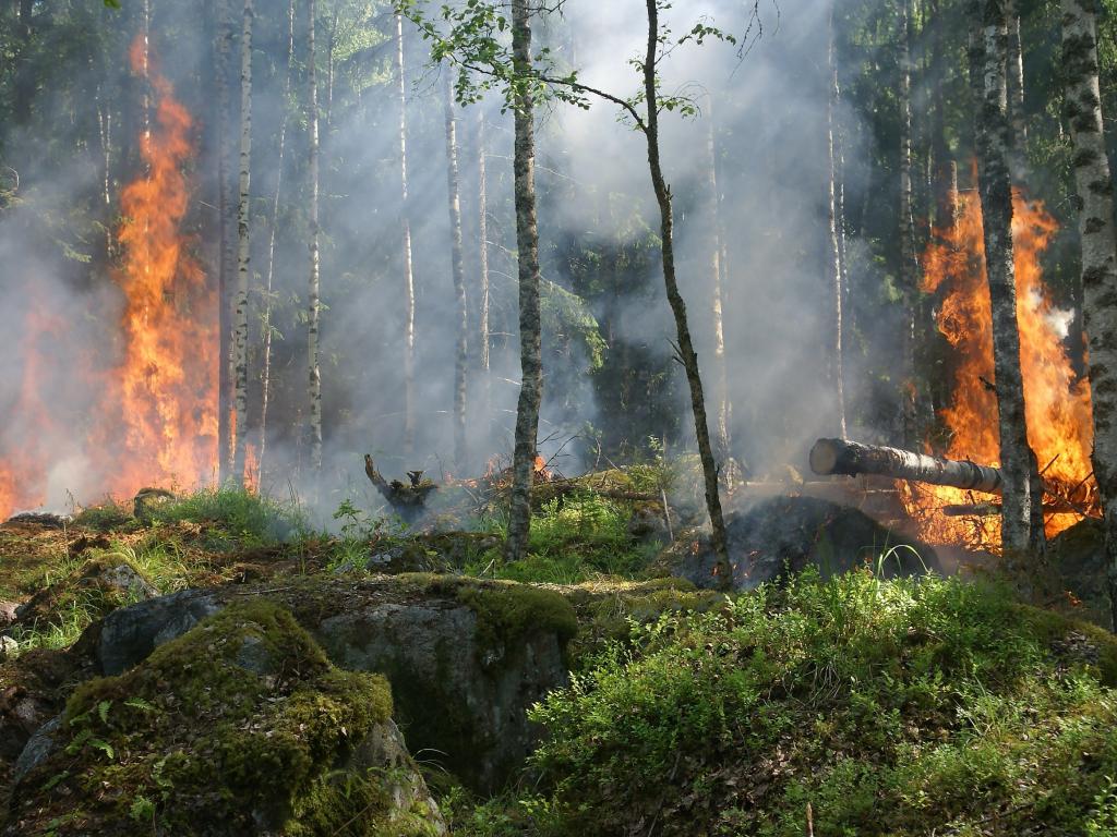
Air quality is fast becoming a critical challenge across SERVIR regions. Each year, the World Health Organization estimates 7 million deaths occur globally as a result of air pollution exposure, with 2 million of these occurring across South and Southeast Asia. Apart from enhanced emissions, the lack of rainfall during the Asian Monsoon dry season, accompanied by winter low-temperatures and calm winds, allows pollutants to accumulate in the air leading to a degradation in air quality across Asia. In 2019, Thailand suffered from unseasonably poor air quality, particularly in Northern provinces where there was substantial agricultural burning and forest fires. The harmful air quality levels observed during the winter of 2019 catalyzed a need in the region to support air quality efforts to improve both monitoring and public awareness. Over the past year, SERVIR Southeast Asia has partnered with national departments in Thailand to meet these needs. This effort will be expanded to cover the ASEAN countries in the near future.
Share
Launch Mekong Air Quality Explorer
Application Purpose
This regional web-based information system application is aimed to:
1. Visualize historical and near real-time satellite observations of air quality and fires from the MODIS and VIIRS satellite sensors
2. Access and visualize 3-day air quality forecast parameters derived from NASA's GEOS global forecast model and bias corrected using machine learning algorithm
3. Support national/regional decision-makers in air quality monitoring, analysis, and forecasting; and
4. Provide policymakers and local governors with current and forecast air quality situation to facilitate decision-making within the current forest fire season
Application Uses
The application allows users to intercompare historic, near real-time satellite observations, ground-based air quality observations, and forecasted conditions to assess how well they intercompare and perform. This ability enables partners such as the Pollution Control Department (PCD), Geo-Informatics & Space Technology Development Agency (GISTDA) as well as decision-makers to leverage satellite observations to more effectively monitor air quality in Thailand and Lower Mekong Region.
Launch Mekong Air Quality Explorer
Consortium Subawardees
Co-Developer(s)
- ADPC, Universities Space Research Association (USRA), NASA