
The Hydrologic Remote Sensing Analysis for Floods (HYDRAFloods)
A publicly available, web-based, near real-time flood monitoring tool designed to improve flood monitoring systems using freely available satellite remote sensing data, HYDRAFloods uses Artificial Intelligence (AI) to detect floods more accurately. This tool helps emergency response and relief efforts by providing more accurate flood extent information.
Share
Launch The Hydrologic Remote Sensing Analysis for Floods (HYDRAFloods)
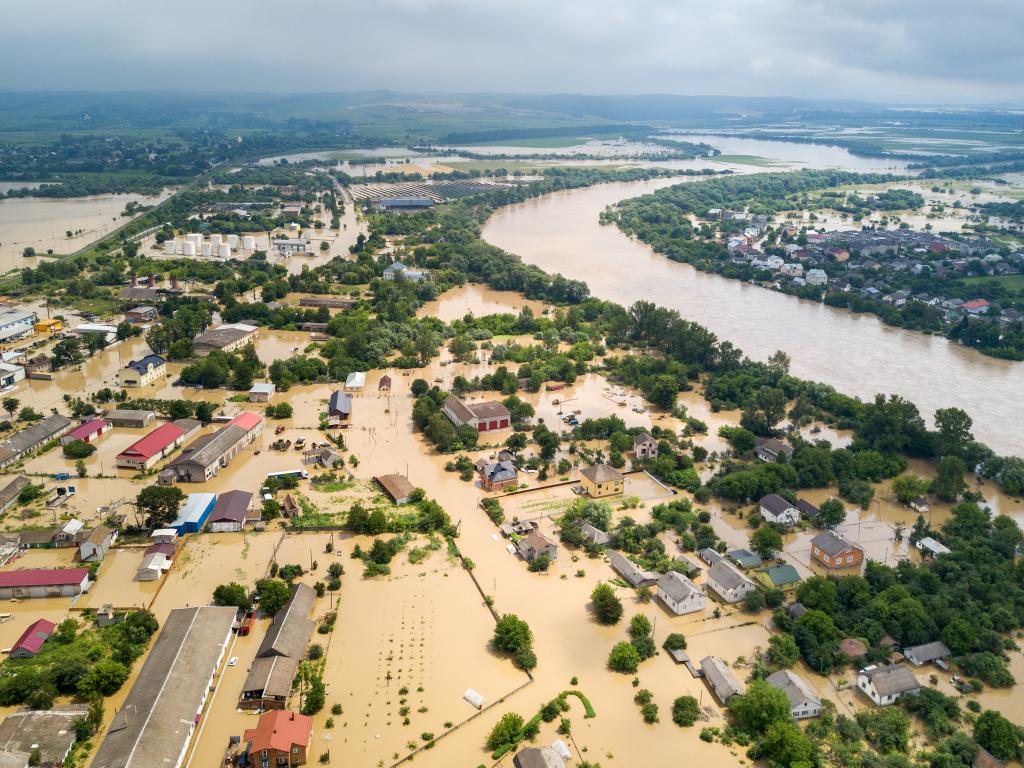
HYDRAFloods is an open source Python application for downloading, processing, and delivering surface water maps derived from remote sensing data using sensor agnostic approaches. It leverages multiple remote sensing datasets to provide daily surface water maps for improved flood response. The HYDRAFloods application is built using Google Earth Engine and Google Cloud Platform (GCP) to leverage cloud computing for large-scale computations and handling high data volume outputs. The goal of the package is to allow access to high-quality, cloud-based surface water mapping algorithms with minimal effort. To achieve this goal, HYDRAFloods provides a high-level API on top of the Earth Engine Python API to reduce code duplication, such as filtering or carrying metadata for image processing, and provides complex surface water algorithms. Furthermore, the package provides some GCP functionality to read and transfer data to be used within Earth Engine.
Application Purpose
To provide information on potential flood water maps, flood ages, and flood depths to improve decision-making on flood preparedness and humanitarian response in the Lower Mekong Region
Application Uses
- Flood monitoring
- Flood response
- Flood risk management
Launch The Hydrologic Remote Sensing Analysis for Floods (HYDRAFloods)
Consortium Subawardees
Co-Developer(s)
ADPC/SERVIR-Mekong
Satellite Data and Geospatial Information
- Sentinel-1
- Sentinel-2
- Landsat- 8
- MERIT DEM (based on SRTM90)