
SERVIR SEA Supports Improved Forest Conservation in Southeast Asia Using NASA Technology
Friday, August 18, 2023
Share
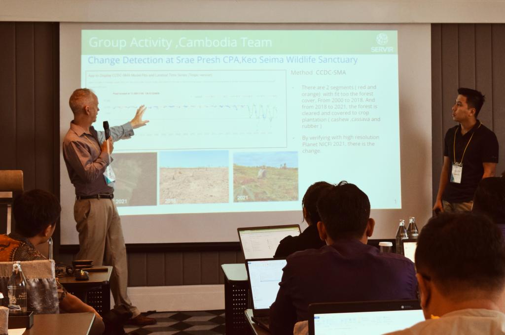
SERVIR Southeast Asia (SERVIR SEA) in collaboration with NASA Applied Sciences Team from Oregon State University (OSU), and NASA Science Coordination Office at University of Alabama in Huntsville organized a three-day regional training on remote sensing for biomass mapping and carbon estimation to support forest conservation and REDD+ activities in Southeast Asia.
Implemented through a partnership between U.S. Agency for International Development (USAID), U.S. National Aeronautics and Space Administration (NASA), and Asian Disaster Preparedness Center (ADPC), SERVIR SEA uses publicly available satellite data to address climate change and sustainable development challenges.
For the first time in Southeast Asia, participants were trained to use the Global Ecosystems Dynamic Investigations (GEDI) technology developed by NASA and University of Maryland, with the instrument installed aboard the International Space Station. GEDI uses laser beams to construct detailed three-dimensional (3D) maps of forest canopy height and the distribution of branches and leaves.
GEDI data plays a critical role in understanding changes in the biomass and carbon stored in forests by accurately measuring forests in 3D. This information is vital for understanding Earth’s changing carbon cycle. GEDI data also can be used to study plant and animal habitats and biodiversity, and how these change over time.
The training also provided participants with an overview of REDD+ and its role in climate change mitigation; introduced them to the different use cases of remote sensing for biomass mapping and estimation and; trained learners with the skills they need to apply remote sensing to support REDD+ projects in Southeast Asia.
This is the first in a series of trainings to build a biomass estimation model using remote sensing data. SERVIR SEA will continue to support Southeast Asian countries by building local capacities to use state-of-the-art technologies and data for measuring forest carbon stocks. These initiatives will support sustainable landscape management practices in Southeast Asia by reducing greenhouse gas emissions (GHGs) and increasing removal of GHGs from the earth’s atmosphere.

“Learning about geospatial technology's role in supporting REDD+ initiatives has provided me with valuable insights that I can directly apply to my projects," said Heru Hermanto, from the Ministry of Environment and Forestry of Indonesia after attending the training. "The introduction of the GEDI technology will undoubtedly prove to be a game-changer in my work, allowing for more precise estimations and better-informed decisions."
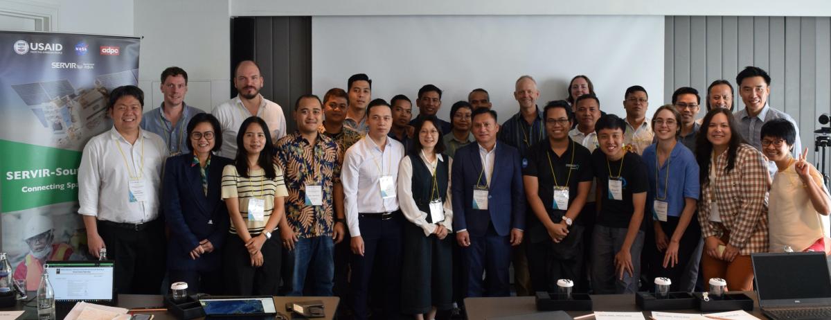
Sixteen participants from regional organizations, national governments, universities, NGO’s attended this training in Bangkok, Thailand.
“Learning how to use GEDI and other biomass datasets is an important area of spatial analysis that I am personally lacking within the NCS team, " said Samuel Lee from Conservation International. “Workshops like these help us expand our breadth of analysis to provide our regional partners with a better range of data for informed decision-making.”

SERVIR SEA responds to regional needs and supports communities working to halt the loss of forested land and reforestation of degraded lands by increasing access to near real-time monitoring data and land use planning platforms. The program supports ongoing efforts to reduce emissions from deforestation and forest degradation under the United Nations REDD+ framework.
SERVIR SEA’s Regional Land Cover Monitoring System (RLCMS), generates custom, high-quality land cover information products to serve land use planning, natural resource management, and national reporting needs in the region.
Between 1990 and 2010, Southeast Asia registered an average net loss of forest of 1.6 million hectares per year, reducing the region’s forest cover from 268 million hectares to 236 million hectares. For context, the area of forest loss is approximately equivalent to the land mass of Malaysia. A recent study in Nature Communications lays out some of this data in graphic detail. Southeast Asia is home to nearly 15% of the world’s tropical forests, and includes at least four of the twenty-five globally important biodiversity hotspots. The region is also among the world’s major deforestation hotspots, responsible for the bulk of deforestation in tropical humid and low-land forests. Southeast Asia accounted for 41% of global emissions due to deforestation between 2005 and 2010.
ADPC through SERVIR SEA, uses publicly available satellite technologies to support regional institutions, governments, and citizens to address climate-related challenges such as disaster preparedness and response, water resources and land management. Together with stakeholders, ADPC co-develops regional geospatial tools and services ranging from drought monitoring and crop yield management, flood forecasting, air quality monitoring, and sustainable landscape management to ensure that communities in Southeast Asia are better prepared to deal with the impacts of climate change.
DOWNLOADS
Share